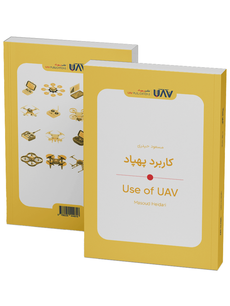
Book – Use of UAV
Use of UAV, authored by Masoud Heidari, offers a fresh perspective on the world of drones—not as instruments of war, but as tools for life. Written in clear and practical language, this book explores the vital roles drones play in agriculture, mapping, disaster response, environmental protection, filmmaking, and even urban management.
If you’re curious to know what a drone truly is, how it works, and how it can help save lives or protect the planet, this book—following What Is a Drone?—is the ideal place to begin. No technical background is required. Step into the world of drones and discover their real-world, human-centered applications in a technology-driven future.
Introducing The Book of Use of UAV
The Book of Use of UAV, written by Masoud Heidari, is a commendable effort to introduce the multifaceted and intricate world of drones in an accessible and practical manner. Rather than focusing solely on military or purely technical concepts, this work centers on the role of drones in our daily lives—from agriculture and cartography to disaster relief, filmmaking, and even environmental protection. With clear and comprehensible language, the author seeks to familiarize readers with the real-world, impactful, and human-oriented uses of this technology. This book is well-suited for those who wish to understand what drones truly are and how they fit into today’s world, without getting entangled in complex formulas or technical jargon.
What Is a Drone, and Why Does It Matter?
The first question that naturally arises is: What exactly is a drone? The word “drone” refers to an “Unmanned Aerial Vehicle” (UAV)—an aircraft that flies without a human pilot onboard and is controlled remotely. In everyday speech, it is sometimes mispronounced or misspelled, but the correct and formal term is “drone” or UAV. The significance of drones lies in their ability to operate in conditions that are difficult, dangerous, or even impossible for humans to endure. This unique capability has made them one of the most advanced and versatile technological tools of our time—machines that can soar through the skies, perform with high precision, and in many cases, save lives.
How Did Drones Come Into Existence?
The concept of an aircraft flying without a human pilot is not a new one. As early as the late 19th century, militaries began experimenting with controllable balloons. In 1849, the Austrian army attempted to attack the city of Venice using explosive-laden balloons—a mission that ultimately failed due to technical limitations but marked the beginning of the journey toward unmanned aerial flight.
With the advancement of aviation, the idea of remotely piloted aircraft resurfaced. Initially used to simulate targets and train gunners, drones evolved alongside technology to become reliable tools for surveillance, imaging, and eventually humanitarian operations.
The Drone Boom of the 21st Century
Over the past two decades, the proliferation of affordable electronics, more compact batteries, and advanced GPS systems has propelled the use of drones into a new and entirely distinct phase. No longer exclusive to militaries or high-tech organizations, drones have become tools accessible to everyday citizens—farmers, engineers, filmmakers, and first responders alike. Major global manufacturers such as DJI, Parrot, and Autel Robotics now produce drones that are not only professional-grade but also suitable for general use. This shift has transformed numerous industries and carved out a significant place for drones in the global technology market.
Meet the Multirotors
One of the most common types of drones today is the multirotor—a category that includes drones with multiple motors and propellers. The most well-known example is the quadcopter, equipped with four rotors. This design allows for precise maneuvering, hovering in place, and navigating confined spaces. Multirotors are used in a wide range of applications, including aerial filming, building inspections, crop spraying, and even small-package delivery. Their ease of control makes them a favorite among both beginners and professionals.
Drones Are Not Just for War
A widespread misconception about drones is that they are purely military tools. In reality, drone technology—especially over the past decade—has increasingly served civilian and humanitarian purposes. Today, drones are actively used in agriculture, search and rescue operations, cartography, cinematography, environmental monitoring, construction, industrial inspection, and even education. The Book of Use of UAV focuses precisely on these areas, showcasing how technology can enhance human life rather than threaten it.
Mapping and Photogrammetry with Drones
Not long ago, conducting detailed surveys of large areas required a significant amount of time, a large workforce, and heavy equipment. Drones have revolutionized this process. Equipped with high-resolution cameras and specialized sensors, drones can quickly fly over designated areas and capture precise imagery from above.
Using photogrammetry software, these images are then transformed into detailed 3D maps, elevation models, and geospatial data—resources vital for infrastructure projects, urban planning, road construction, and environmental monitoring. The accuracy, cost-efficiency, and increased safety offered by drones have made them indispensable tools for many engineers and consulting firms.
How Drones Assist Modern Agriculture
In today’s high-tech agriculture, traditional experience alone is no longer sufficient. Modern farmers must rely on real-time, data-driven decisions, and drones play a central role in this shift. By flying over farmland, drones can assess vegetation coverage, crop health, irrigation needs, and even detect pests with remarkable precision.
Agricultural drones are also used for seeding and spraying fertilizers and pesticides with pinpoint accuracy. This leads to reduced chemical use, minimized environmental impact, and greater resource efficiency—ultimately boosting productivity. From vast farmlands to orchards and greenhouses, drones are revolutionizing agricultural practices and propelling the industry toward a future grounded in data and aerial imagery.
Drones in Filmmaking and Journalism
The film and media industries were among the first to embrace drones. Today, it’s common to see sweeping aerial shots in movies and documentaries—scenes that would have once required expensive and risky helicopter shoots. Thanks to drones, filmmakers, journalists, documentarians, and even everyday users can now capture stunning footage from fresh angles at a fraction of the cost.
In journalism, drones are especially vital during crisis coverage, such as floods, earthquakes, wildfires, or public demonstrations. They can access hard-to-reach areas without endangering reporters, providing live visuals and accurate data to media outlets and emergency services. Drones have become the journalist’s second set of eyes in the sky.
Urban Security and Management Through Drones
As cities grow more complex—with rising populations, traffic congestion, and security concerns—there is a greater need for innovative urban management solutions. Drones have become invaluable tools for municipal authorities. They are used to monitor traffic, observe crowded areas, oversee border security, track missing or wanted vehicles, and inspect building code violations.
Their key advantages—speed, precision, and minimal reliance on complex infrastructure—make them uniquely suited for rapid deployment. In just minutes, a small drone can arrive at a location, relay live footage, and even act as a deterrent. Municipalities and disaster response agencies increasingly depend on drones for planning, surveillance, and real-time assessment. Shortly, we may see each urban district operating its own dedicated drone command center.
Rescue Drones: Flying Lifesavers
In times of disaster—such as earthquakes, floods, avalanches, or lost hikers—time becomes the most critical factor. Rapid location access, accurate assessment, and prompt delivery of supplies can be the difference between life and death. This is where drones function as “unmanned rescuers.”
Equipped with thermal cameras, search sensors, floodlights, loudspeakers, and even compartments for transporting medicine or light supplies, rescue drones can be quickly dispatched to incident sites. They can locate missing persons and deliver life-saving resources, such as water, medication, or communication tools, before ground teams arrive. In inaccessible areas, drones take over where vehicles and humans cannot go, saving lives from above.
Industrial Use of UAV: From Mines to Petrochemicals
In high-risk, large-scale industries such as oil and gas, petrochemicals, mining, power generation, and utility networks, inspection and monitoring are essential but costly and hazardous. Drones have transformed these tasks. Without halting operations or exposing workers to danger, drones can capture detailed imagery of equipment and structures, identify corrosion, leaks, or damage, and generate comprehensive reports.
Industrial drones are often equipped with thermal imaging cameras, gas sensors, and specialized inspection tools. They improve worker safety, reduce costs, and increase accuracy in inspections. In mining, drones are used for 3D mapping, volume assessment, and environmental monitoring, making them invaluable in operations where precision and safety are paramount.
Forecasting Weather with Drones
Monitoring atmospheric conditions, conducting precise meteorological assessments, and managing natural resources are longstanding priorities for governments, farmers, and environmental agencies. Traditional tools, such as fixed weather stations or balloons, face limitations, including high costs, restricted coverage, and difficult access to challenging terrain.
Drones overcome these barriers. They can fly at various altitudes, carry multiple sensors, and capture real-time data on temperature, humidity, air pressure, airborne particles, and pollutants. Their use enhances weather forecasting, aids in water resource management, wildfire detection, drought assessment, and climate change analysis. With multispectral, LiDAR, or thermal imaging capabilities, drones can now produce maps that were once only achievable with expensive aircraft and expert teams.
Smart Cities Take Flight
The concept of a smart city extends far beyond high-speed internet or smartphone apps. One of its essential pillars is the deployment of drones across urban domains—for service delivery, safety, traffic monitoring, and waste management.
In modern city governance, drones are used to monitor construction, measure air quality in congested zones, assess urban flooding, detect code violations, and support law enforcement. Drone-based delivery is also gaining traction, particularly in areas that are difficult to reach. In the not-so-distant future, drones will be a standard part of urban smart infrastructure, enhancing efficiency, safety, sustainability, and cost-effectiveness.
Why Should We Learn About Use of UAV?
The Book of Use of UAV is not merely a technical introduction to UAVs—it’s a profound exploration of how technology can tangibly improve human life. Through simple language and a cohesive structure, the book helps readers grasp how an airborne machine can contribute to food security, public health, disaster relief, environmental stewardship, and urban planning. In an era of rapid technological change, having an accurate and up-to-date understanding of emerging tools like drones is essential. This book offers an excellent entry point—requiring no technical background—into a future where drones no longer symbolize fear, but instead hope, progress, and life itself.
| Book Author | |
|---|---|
| Book Edition |
First |
| Book Isbn |
978-622-94448-1-8 |
| Book Publisher | |
| Book Language | |
| Book Pages |
125 |
| Book Publish Year |


