What is the role of drones in humanitarian operations?
The integration of drones into humanitarian missions initially began with research and aerial imaging of disaster-affected regions. However, as drone technology advanced, relief organizations quickly recognized the vast potential of these tools for delivering direct aid. In recent years, drones have emerged as a viable solution for transporting medicine, food, and essential supplies to areas where traditional land or air access is either severely limited or entirely unavailable. A notable example of this evolution is the Zipline project in Africa, which utilizes small drones to deliver blood and medical supplies to rural regions. Drones have not only accelerated response times but have also dramatically reduced the high costs associated with traditional logistics. As the demand for rapid crisis response grows—whether in the face of earthquakes, floods, or wildfires—drones have become indispensable, offering flexibility, light weight, and programmable precision to aid organizations around the world.
Delivering Food and Medicine to Crisis Zones
One of the most critical advantages of drones in humanitarian operations is their ability to deliver vital goods—such as food and medicine—swiftly and securely. In situations where roads are destroyed or access requires navigating unsafe territories, drones can autonomously transport lightweight yet life-saving cargo. Cargo drones, including VTOL (Vertical Take-Off and Landing) models, are capable of carrying several kilograms of supplies and landing in confined spaces—an essential feature in mountainous or island regions.
During the Kermanshah earthquake in Iran, drones were successfully tested to deliver emergency packages. Globally, organizations such as UNICEF and the Red Cross deploy drones to deliver vaccines to children in remote regions—the key benefit is reducing aid delivery times from days to mere hours, or even minutes.
Saving Lives After Natural Disasters
Natural disasters, such as earthquakes, floods, wildfires, and landslides, often severely damage communication and transportation infrastructure. In these moments, the rapid identification of affected areas and the immediate rescue of injured individuals become paramount. Drones, with their ability to fly swiftly and capture aerial imagery, allow relief teams to pinpoint regions most in need and allocate resources efficiently.

In addition to visual imaging, some advanced drones are equipped with thermal cameras that can detect human heat signatures under rubble or in dense forests. This capability has been crucial in saving lives. In the Nepal earthquake (2015) and the Türkiye earthquake (2023), drones played a pivotal role in damage assessment, identifying sites for temporary shelters, and guiding rescue teams. Their use during the critical first hours of a disaster—when every second may mean the difference between life and death—has proven to be their most impactful contribution.
Reducing Response Time with Drone Technology
In emergency relief operations, time is one of the most precious resources. In the past, reaching disaster zones could take hours or even days due to destroyed infrastructure or dangerous road conditions. Drones have drastically reduced these delays. Free from the constraints of roads, traffic, or complex refueling, drones can fly directly from a relief base to the target location. Some drones can cover distances of up to 50 kilometers in under 30 minutes and deliver their payload with remarkable precision.
In countries like Rwanda and Ghana, the delivery time for critical supplies such as insulin or blood has dropped from several hours to less than thirty minutes. In humanitarian crises, these minutes often spell the difference between survival and loss. In simple terms, drones have enabled emergency aid to respond in real-time.
Aerial Monitoring of Refugee Camps
Due to high population density and often poor sanitary conditions, refugee camps require continuous monitoring to ensure efficient resource management and prevent health and security crises. Drones, equipped with high-resolution imaging and mapping capabilities, provide real-time surveillance that enables camp managers to respond quickly to emerging issues.
Using drones, teams can rapidly identify areas in need of medical attention, food distribution, or emergency shelter. Drones also reduce the need for risky and costly ground patrols, offering valuable data for long-term planning. International organizations, such as the UNHCR, actively utilize drone technology to enhance living conditions for displaced populations.
Drone Mapping in Crisis Zones
Another crucial application of drones in humanitarian work is the rapid and precise mapping of disaster-affected areas. After a catastrophe, or in underserved regions, up-to-date and detailed maps are essential for effective relief planning. Drones can capture aerial imagery and use advanced data processing to generate 3D maps and thermal overlays.
These maps help relief organizations identify safe routes, determine tent locations, and optimize the distribution of supplies. In countries with limited information infrastructure, drones provide a cost-effective means of acquiring critical geographic data, supporting informed and strategic decision-making.
Partnerships Between International Organizations and Drone Companies
To maximize the impact of drone technology in humanitarian missions, collaboration between international organizations, aid agencies, and UAV technology companies is vital. Specialized drone firms work closely with entities such as UNICEF, the Red Cross, and the United Nations to tailor drone solutions to the specific needs of each crisis and region.

These partnerships encompass the development of customized drones, training of local pilots, provision of hardware, and technical support. Successful models, such as the Zipline initiative, highlight the power of such collaboration, demonstrating how drones can bridge the gap between cutting-edge technology and life-saving humanitarian services.
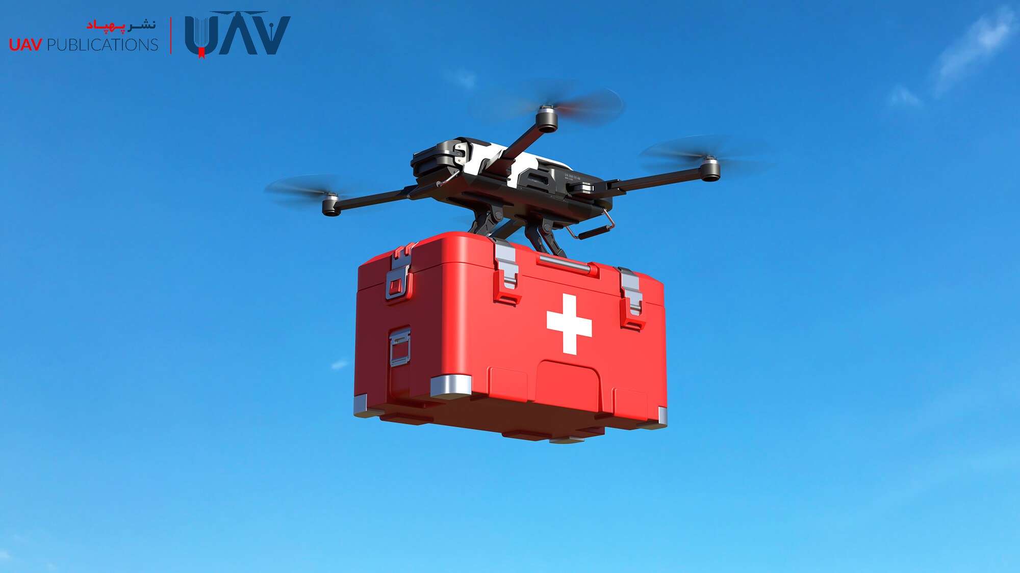
Rapid Medical Deliveries via Drone
One of the most pressing challenges in global health and disaster response is the swift delivery of medicine and medical equipment to remote or crisis-affected areas. Drones, capable of direct flight without road traffic delays, have significantly alleviated this issue. Sensitive items, such as vaccines, insulin, and emergency medical kits, can now be dispatched to their destinations in record time.
This technology has been successfully implemented in several African and Asian nations. For instance, Zipline’s drone delivery service in Rwanda supplies hospitals and clinics with blood and medication, saving thousands of lives. In emergency scenarios such as epidemics or natural disasters, drones can be rapidly deployed to deliver vital aid to those in urgent need. With decreasing costs and increasing precision, drones have become a cornerstone of aerial medical logistics and a significant force in improving public health outcomes.
How Drones Support Humanitarian Crisis Management
In large-scale human crises—such as forced migrations or natural catastrophes—drones offer crucial surveillance and logistical support. They enable real-time monitoring of mass population movements, security conditions, and living standards.
Drones can quickly identify locations for setting up camps, zones in need of aid, and safe travel corridors. They provide decision-makers with timely and accurate information, ensuring that scarce resources are directed efficiently and that relief operations are more organized. These contributions significantly enhance both the quality of life and the safety of vulnerable populations in crisis zones.