A Comprehensive Review of UAVs in Humanitarian Aid and Natural Disaster Management
Unmanned Aerial Vehicles (UAVs), commonly known as drones, have emerged as critical tools in disaster relief operations due to their ability to rapidly access hard-to-reach areas and provide aerial intelligence at relatively low cost. These systems can operate in hazardous environments without risking human lives, flying over dangerous zones, and reducing the exposure of rescue personnel to potential harm. Their capacity to traverse long distances in short time frames enables swift responses to natural disasters. Research shows that drones can survey vast areas faster than traditional methods, significantly reducing the time required to locate victims.
By decreasing response time and enhancing situational awareness, drones contribute to saving lives during emergencies. Recent advancements in UAV technologies, particularly in imaging and remote sensing, have enabled drones to collect field data from above without relying on heavy infrastructure. For example, in recent years, drones have been deployed immediately following major earthquakes to generate preliminary 3D maps of affected areas, highlighting their potential to become integral components of modern emergency response systems.
UAV Technologies and Equipment for Disaster Relief
Modern UAVs are equipped with advanced imaging systems and a variety of sensors, including visual, infrared, and thermal cameras, as well as autonomous navigation systems. These features enable drones to detect signs of life, such as body heat or vital signs, even in low visibility or complex environments. For instance, thermal cameras can identify human heat signatures beneath rubble. Additionally, certain drones are equipped with communication equipment, such as wireless audio transmitters or hotspot modules, to establish temporary communication networks in areas lacking telecommunications infrastructure.
Navigation systems, such as GPS, and visual or positional guidance enable UAVs to fly autonomously along predefined routes, even returning to base automatically if necessary. The integration of these technologies allows drones to operate effectively in challenging conditions, including at night or in smoke- and fog-filled environments, providing valuable real-time information to ground responders.
Types of Drones Used in Disaster Response
Emergency drones typically fall into two main categories: multirotor and fixed-wing. Multirotor drones have multiple propellers and can hover and maneuver with high precision, making them ideal for searching for victims in urban or collapsed environments. For instance, in flood zones or rugged terrain, multirotor drones can remain stationary midair to monitor a specific area. Conversely, fixed-wing drones, resembling conventional aircraft, offer longer flight endurance and range, making them suitable for large-scale mapping and wide-area coverage.
Fixed-wing drones are designed for extended flight durations and can cover long distances, but they require longer runways for takeoff. Hybrid Vertical Takeoff and Landing (VTOL) drones combine the hovering capabilities of multirotors with the range of fixed-wing systems. Selecting the appropriate drone type depends on operational requirements, such as the coverage area and payload weight, as well as environmental factors, including terrain and weather conditions.
Victim Search and Detection Using Drones
UAVs can swiftly identify trapped or injured individuals across disaster zones through extensive aerial coverage. Studies indicate drones can search large areas more rapidly than traditional ground teams and even perform preliminary assessments and triage before first responders arrive. Advanced drone models equipped with infrared and thermal sensors can detect human body heat among debris or obstructions.
Using automated navigation algorithms, UAVs can follow structured search patterns and coordinate with other drones to minimize search time. These capabilities dramatically reduce the time needed to locate victims, particularly in high-risk or obscured environments. Simulations have shown drones successfully identifying a victim in complete darkness at distances exceeding 100 meters, demonstrating the technology’s value in post-earthquake rubble or collapsed structures, where visibility is limited.
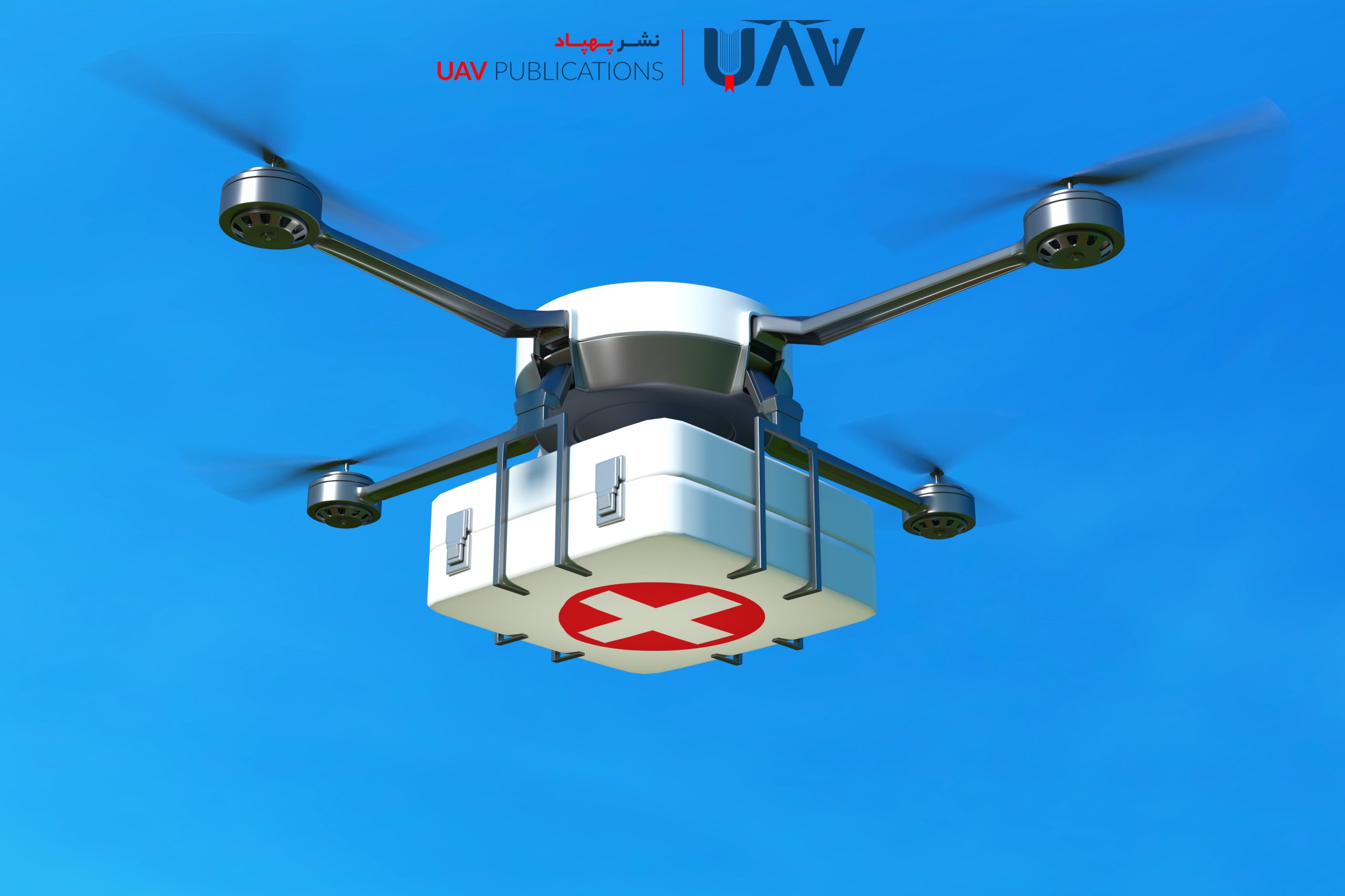
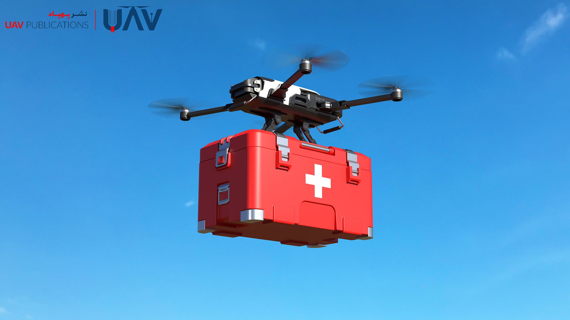
Delivery of Medical Supplies and Emergency Aid
Drones also play a vital role in transporting medical equipment and emergency supplies. Lightweight, high-speed UAVs can deliver essential items such as first-aid kits, medications, and defibrillators directly to the scene in minimal time. When ground access is compromised (due to blocked roads or mountainous terrain), drones can accurately drop payloads at designated coordinates.
Larger drones, capable of carrying heavier loads, have also been developed. For example, a recently introduced UAV can transport up to 300 kilograms of medical cargo, facilitating the delivery of sizable equipment or relief containers to remote mountain or coastal areas. This capacity is especially valuable for urgent missions, such as organ transportation, blood deliveries, or vaccine distribution to remote locations.
Establishing Emergency Communication via UAVs
Drones can assist in reestablishing communication infrastructure that natural disasters have disrupted. In the aftermath of earthquakes or floods, when cell towers and internet services are down, UAVs can capture aerial imagery of communication infrastructure to expedite damage assessment and evaluation. Additionally, tethered drones can serve as temporary mobile communication towers. For instance, after a hurricane in Florida, a telecommunications provider deployed a tethered drone at a height of 90 meters, creating a several-kilometer radius of cellular coverage.
This temporary coverage allowed emergency communications and data exchange between affected residents and rescue teams. Some UAVs are also equipped with Wi-Fi or satellite transmitters to maintain communication when mobile networks fail. Moreover, live video feeds from drones can be transmitted to command centers, supporting better decision-making and operational coordination.
Aerial Mapping and Site Assessment
Accurate, real-time maps of disaster zones are crucial for organizing rescue efforts. UAVs capture high-resolution imagery and, with specialized software, produce rapid topographical maps of damaged regions. Following the 2015 Nepal earthquake, drones delivered real-time mapping data, offering a comprehensive overview of the destruction and proving essential for relief and reconstruction planning. During floods, drones can assess water levels and inundation areas, providing critical insights into flow paths and high-risk zones.
A bibliometric study suggests that drones, with their ability to collect data swiftly and comprehensively, are highly effective tools in flood crisis management. Unlike satellite imagery, which may be delayed or obstructed by cloud cover, drones deliver high-quality images immediately after a disaster. These up-to-date maps enable relief teams to identify priority zones, optimize resource distribution, and coordinate deployments more effectively.
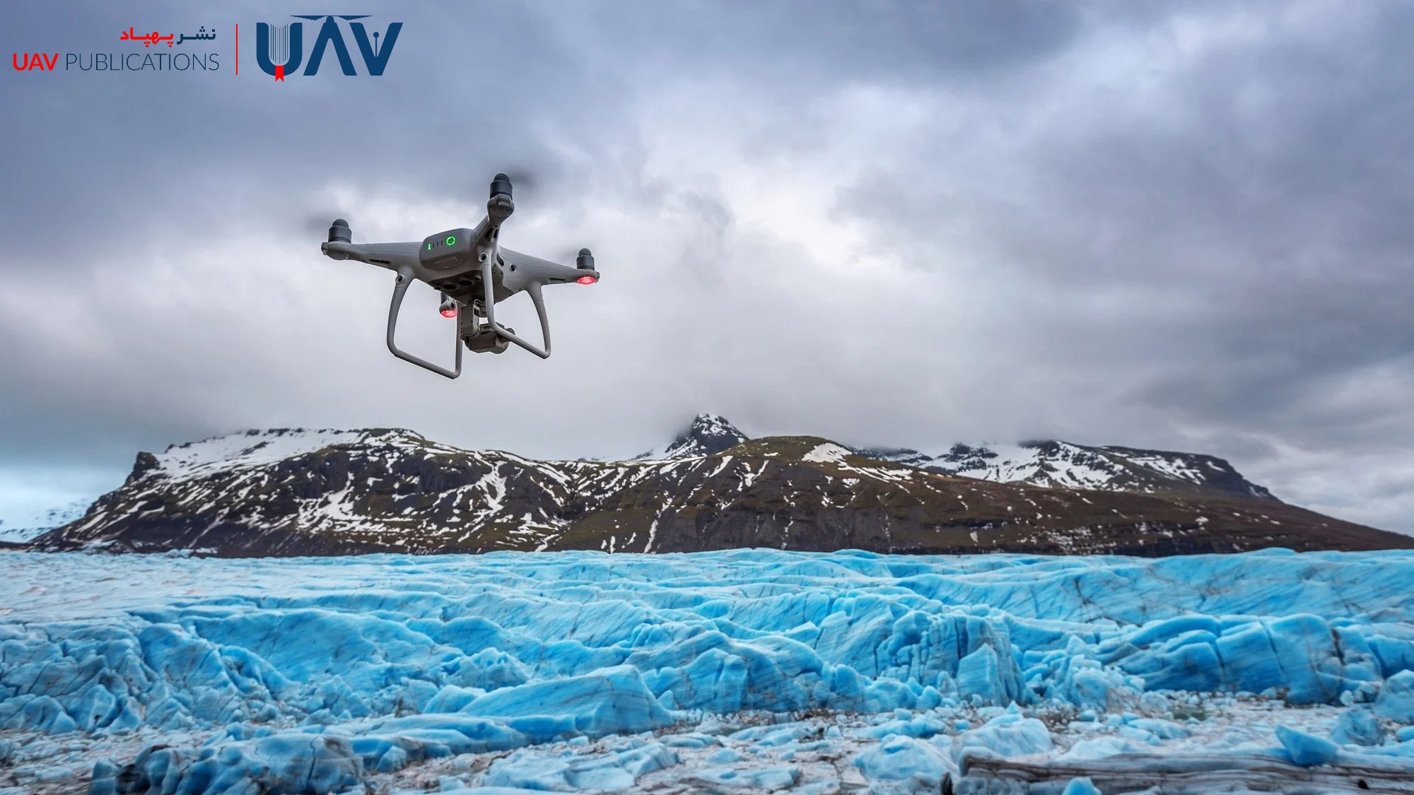
Environmental Monitoring and Disaster Prediction
UAVs are also helpful in environmental monitoring and early warning systems for natural disasters. With the integration of environmental sensors, drones can observe climate and geological shifts. Research shows that UAVs can monitor glacier instability by measuring thermal variations and displacement, thereby aiding in the prediction of flood risks from sudden ice melt.
Drones can also detect pre-disaster indicators, such as thermal hotspots or soil discoloration—signals of potential wildfires or landslides. Some UAVs carry gas or particulate sensors to assess air quality or sediment levels. This data enables crisis managers to make timely preventive decisions, including evacuations or reinforcement of critical infrastructure.
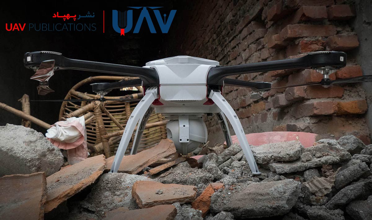
UAV Applications in Earthquakes
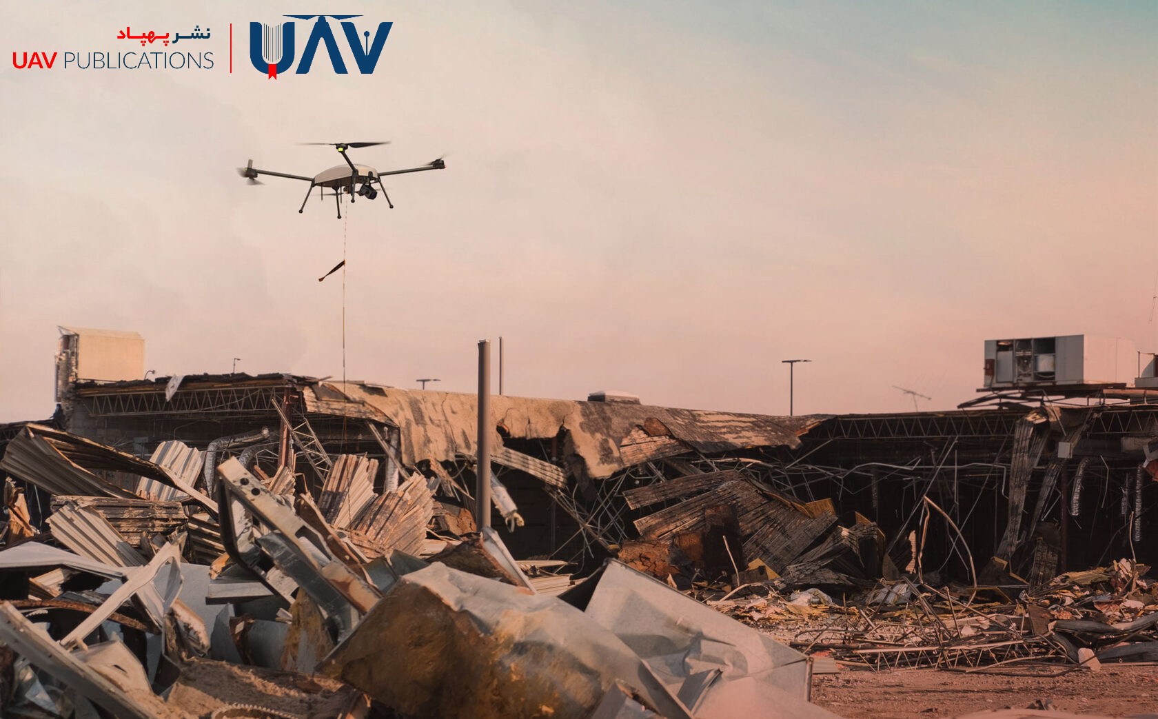
In seismic events, drones offer rapid reconnaissance and mapping capabilities. By flying through damaged areas, UAVs can generate high-resolution imagery and 3D structural models of buildings and roads. These datasets allow for swift damage assessment and support emergency planning. For instance, after a hypothetical earthquake, a drone might transmit visual reports of fault lines and landslides, enabling emergency services to determine viable routes for rescue operations.
Post-flight imagery can be processed into detailed 3D point clouds, illustrating cracks, damaged beams, and compromised structures. Such models help civil engineers identify structurally unsafe buildings and prioritize repair or demolition. In inaccessible areas, drones can also deliver emergency supplies directly to those in need. Evidence suggests that drone deployment in the early hours after an earthquake significantly enhances relief coordination and accelerates life-saving operations.
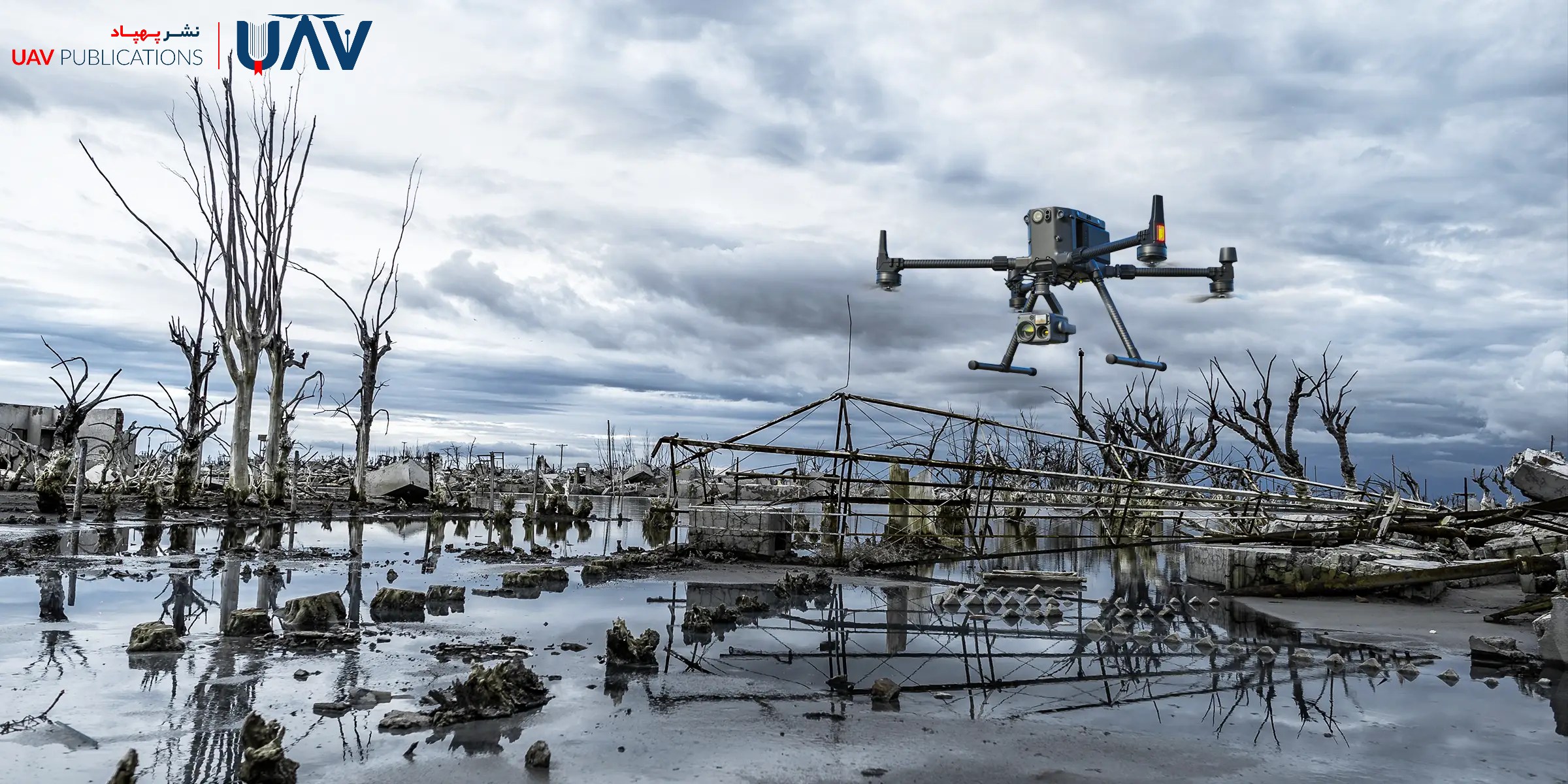
UAV Applications in Flood Response
In major flooding events, drones play a pivotal role in locating missing persons and assessing damage. They help rescue teams identify stranded individuals and map floodwaters from above, clarifying flow paths and danger zones. Bibliometrics studies confirm the effectiveness of UAVs in flood management due to their ability to deliver data rapidly and provide broad visual coverage.
Drones can also monitor changes in water levels over time, aiding in the analysis of flood progression. By integrating drone imagery with ground-based sensors, accurate predictive models of flood movement can be generated. For example, drone-acquired maps of swollen rivers can help officials identify contaminated routes and prevent water from reaching densely populated areas.
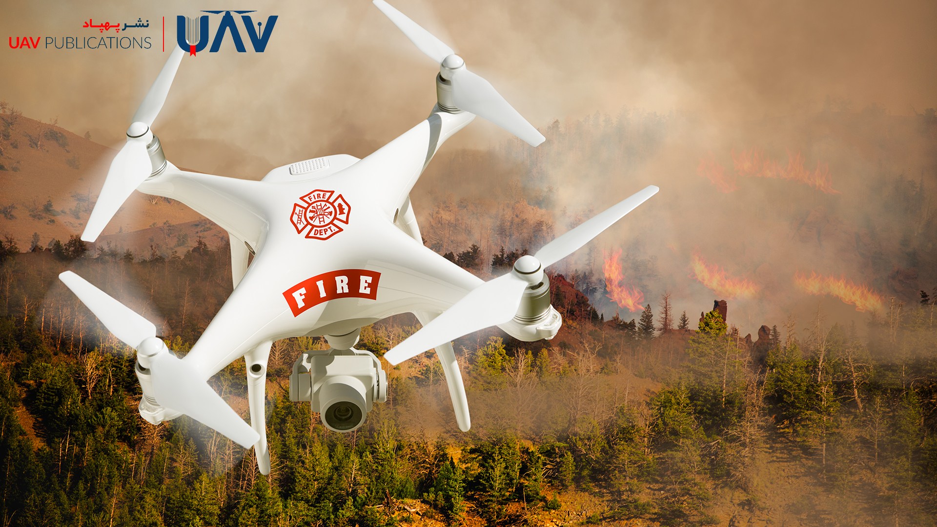
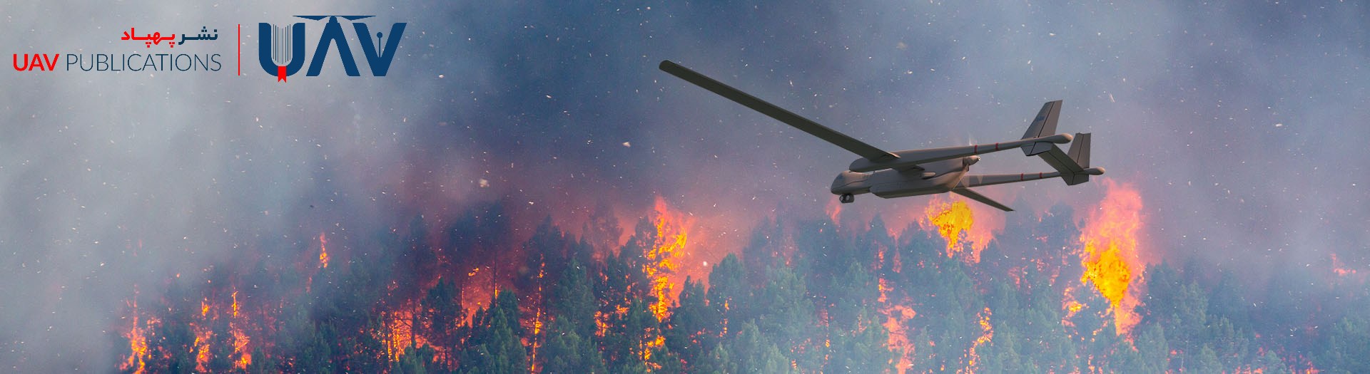
UAV Applications in Wildfire Management
Thermal and visual imaging drones are highly effective tools in combating wildfires. These drones detect hotspots and monitor fire spread in real-time, helping firefighters determine the most strategic containment approaches. Advanced thermal sensors can even identify early-stage combustion, enabling prompt warnings. Such capabilities are particularly vital in remote or inaccessible fire zones.
Some UAVs are also equipped with LiDAR (Light Detection and Ranging) or laser ranging systems to analyze smoke density and estimate the depth of the fire. Continuous drone surveillance during large fires supports documentation of fire behavior, enabling improved strategies in future incidents. For instance, during large-scale forest fires, drones captured wind direction and flame front data to inform firefighting tactics.
UAV Applications in Iran
Iran has also made noteworthy strides in applying drones for disaster relief. During the severe spring 2019 floods, volunteer drone units successfully located missing persons in floodwaters and mountainous terrain. Iranian researchers have even developed a maritime rescue drone capable of identifying a drowning person via infrared sensors and automatically deploying a life ring.
These experiences demonstrate the growing role of drone technology in supporting Iranian rescue teams. However, comprehensive official data on UAV usage in Iran remains scarce. Unofficial reports suggest increasing adoption, particularly by volunteer groups and NGOs. To ensure broader and safer implementation, this trend requires both technical support and a robust legal infrastructure.
International Use of UAVs in Disaster Relief
Globally, the deployment of drones in disaster response is expanding rapidly. In China, engineers have developed a drone capable of transporting up to 300 kg of medical supplies to remote areas. Following Hurricane Ian in the United States, drones were used to inspect the damage to infrastructure. A telecommunications provider launched a tethered drone that served as an aerial cell tower, offering temporary mobile coverage over a wide area.
International organizations, such as the UN World Food Programme (WFP), have long utilized UAVs in preparedness drills to survey inaccessible regions. These global case studies highlight the effectiveness of drones in delivering rapid aid, facilitating real-time mapping, and enhancing coordination among relief teams.
Challenges and Limitations of Disaster Response Drones
Despite their advantages, drones face several limitations in emergency contexts. Chief among them is limited battery life, which restricts flight time. Carrying heavier payloads also increases energy consumption. Adverse weather conditions—such as strong winds, rain, or extreme temperatures—can impact flight safety and performance. Additionally, natural and artificial obstacles, such as power lines or tall buildings, pose collision risks.
Legal constraints further limit UAV operations. Many aviation regulations restrict drone flights to visual line-of-sight and fixed altitude ranges, which complicates long-distance or nighttime missions. Urban areas often enforce low flight ceilings, requiring drones to avoid obstacles autonomously. Coordinating multiple drones within a single operational zone requires precise traffic management to prevent midair collisions. To fully harness UAVs in disaster response, these challenges must be addressed through both technical and regulatory solutions.
UAV Regulations and Safety in Crisis Scenarios
Deploying UAVs in disaster relief must adhere to aviation regulations and safety standards to ensure both effectiveness and public safety. Most countries require flight permits, adhere to safe distance protocols, and comply with restricted zones to prevent interference with critical infrastructure or air traffic.
Specialized drone operator training is crucial, particularly in emergency scenarios where signal loss or sudden environmental changes occur. Coordination with civil aviation and disaster management authorities is typically necessary to obtain regional permissions. Clear data-handling protocols—such as anonymizing personal information in recorded footage—are also significant legal and ethical considerations. Effective use of UAVs in disaster response hinges on combining cutting-edge technology with robust legal and operational frameworks.
Future Prospects of Drones in Emergency Relief
As drone technology advances, its role in disaster relief is poised to expand significantly. Developments in artificial intelligence and coordinated swarm flight will enable UAVs to navigate and collaborate autonomously in real-time, reducing search time and increasing coverage. Enhanced data networks (e.g., IoT and 5G) and onboard real-time analytics will improve situational responsiveness.
Improvements in battery capacity and electric motors are expected to extend drone flight time and range. Consequently, UAVs will become indispensable tools in disaster management, improving response speed, rescuer safety, and overall efficiency. With responsible, intelligent application, drones can offer a transformative approach to emergency response and risk mitigation in the face of natural disasters.