What Are Drone-Specific Applications?
Drone-specific applications are software tools developed to manage, control, and optimize the performance of uncrewed aerial vehicles (UAVs). These applications are typically installed on smart devices such as smartphones or tablets and enable users to control drones with enhanced precision and functionality.
Through these tools, users can set flight paths, view live footage from the drone’s camera, analyze flight data, and even conduct 3D mapping.
Depending on the type of drone and its intended use—whether recreational, industrial, agricultural, or infrastructural—these applications offer a wide range of functionalities. Some are designed for beginners, offering simple interfaces and safe, educational flying experiences. Others cater to professionals, providing advanced capabilities such as fleet control, thermal image analysis, and battery diagnostics. In essence, drone-specific applications are indispensable to the safe, efficient, and purposeful use of UAVs; without them, many advanced drone features would remain inaccessible.
The Importance of Drone-Specific Applications
In today’s world, drones have become essential tools across various industries—from agriculture and cartography to cinema and security. However, the effective use of these tools is enabled by integrating drone-specific applications. These applications transform manual piloting into intelligent, programmable missions. Through such apps, users can remotely define precise flight routes, monitor sensor performance, record and analyze flight data, and ultimately enhance both safety and efficiency.
In scenarios such as search-and-rescue missions, environmental monitoring, or infrastructure inspections, these applications serve as the operational brain. They not only transmit precise commands to the drone but also provide critical feedback, including battery status, wind conditions, and flight warnings. Their significance is especially evident in high-stakes projects, where even minor errors can incur substantial costs. Thus, drone-specific applications serve as an irreplaceable link between human operators and aerial technology, playing a pivotal role in mission success.
List of Notable Drone Applications
A wide array of drone-specific applications is available on the global market, each offering unique features tailored to different user needs. Below are some of the most widely used and highly regarded:
- DJI Fly – Ideal for DJI’s Mini and Mavic series, offering a user-friendly interface with advanced imaging features.
- DJI GO 4 – Designed for professional DJI drones such as Phantom and Inspire series; supports extensive control features.
- Litchi – A powerful app for automated missions, 360-degree imaging, mapping, and advanced flight planning.
- Pix4Dcapture – Optimized for professional photogrammetry and 3D mapping.
- DroneDeploy – A comprehensive tool for managing civil, agricultural, and industrial projects with data analytics capabilities.
- UAV Forecast – Assesses flight conditions, including wind speed, rainfall, and weather forecasts.
- AirData UAV – A precise flight data analyzer geared toward professionals and flight safety teams.
- Autel Explorer – The official app for Autel Robotics drones, providing professional controls and live video.
- Parrot FreeFlight Pro – Used for controlling Parrot drones, featuring autonomous flight paths and aerial imaging.
- Kittyhawk (Aloft) – Tailored for fleet management, flight logging, and legal compliance in large-scale operations.
Using these tools enhances flight accuracy, safety, and purpose.
Mapping and Navigation
In mapping and navigation, drone-specific applications are indispensable for professionals. These tools enable thoughtful route planning, altitude waypoint configuration, and automated marker deployment. Applications such as DJI GS Pro and Pix4Dcapture allow for polygonal flight design, flight speed customization, and camera angle adjustment.
These capabilities support repeatable, hands-free precision flights, making them ideal for land surveying, precision agriculture, and environmental studies. These apps also display vital stats such as battery level, current altitude, speed, and estimated remaining flight time—essential for maximizing UAV utility with minimal risk.
Flight Control and Virtual Remote
Some of the most popular drone-specific apps enable flight control without a physical remote. With these tools, smartphones or tablets function as virtual controllers. Users can control movement, adjust altitude, and initiate emergency landings through touchscreen commands. Apps like Litchi and DroneDeploy support touch controls, gyroscope input, and even head tracking for an immersive control experience. This virtual setup is ideal for beginners or those without access to high-end controllers, as it simulates a remote with precision and safety. Some apps also allow pre-programmed commands or even the synchronized control of multiple drones.
Live Monitoring and Real-Time Display
Live video streaming and monitoring are critical components of many drone operations. Applications such as DJI Fly, Autel Explorer, and Parrot FreeFlight Pro display high-resolution real-time footage on mobile devices. Along with visuals, these apps display vital metrics such as speed, altitude, battery level, GPS coordinates, and signal strength, offering users a comprehensive view of their flight status. Some apps, like Autel Explorer Pro, even support live zoom for long-range inspection of detail. These features make such applications essential to professional aerial photography and surveillance.
Flight Condition Forecasting
Drone-specific applications that integrate with meteorological sources, such as UAV Forecast and Hover, provide critical data on wind, temperature, air pressure, and precipitation forecasts.
This information is especially vital for high-altitude or windy-zone operations. These apps also issue real-time alerts on high winds, no-fly zones, and emergency conditions, helping users anticipate risks and execute safer missions.
3D Mapping and Image Analysis
Applications like DroneDeploy and Pix4Dmapper use captured imagery to generate detailed 3D models. Leveraging photogrammetry and GPS data, these tools process visuals into high-resolution topographic maps. These outputs are highly valuable for construction planning, agricultural optimization, and environmental assessment. Beyond image generation, these applications provide insights into cut-and-fill volume calculations, plant health evaluations, and water resource estimates.
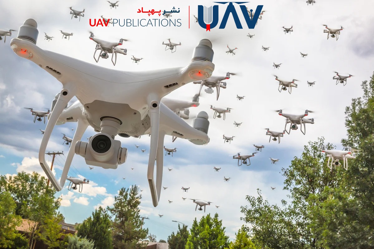
Synchronized Multi-Drone Flight
For coordinated operations, apps such as SwarmDiver and DroneWAN enable the simultaneous flight of multiple UAVs. These tools synchronize flight paths and data, facilitating group missions like environmental surveys, wide-area mapping, and aerial displays. In such operations, drone-specific applications act as reliable coordinators, ensuring precision and harmony.
Virtual Maintenance and Diagnostics
Applications like DJI GO 4 and Autel Explorer provide graphical displays of system diagnostics, including battery health, motor status, GPS signal strength, and sensor performance. Users can track charge levels, cycle counts, cell temperatures, and sensor accuracy after each flight. Any detected issues trigger appropriate alerts. Consistent use of these tools supports preventive maintenance and extends the equipment’s lifespan.
Flight Training Simulators
For beginners, simulators such as DroneSim Pro and RealFlight DJI Edition provide safe, cost-free training environments. These tools replicate real-world scenarios, including flight, landing, aerial photography, and crisis management. As educational tools, drone-specific training apps play a crucial role in developing skills without incurring physical or financial risk.
Media and Flight Path Sharing
Apps like AirData UAV and Kittyhawk enable automatic upload and sharing of media, flight routes, and telemetry. This functionality supports team collaboration, client communication, and post-flight analysis. These tools elevate drone use to a professional standard, enabling comprehensive documentation and performance review.
Advanced Settings and Customization
Specific applications, including Litchi and DroneLink, offer fully customizable flight scenarios, such as panoramic capture, time-lapse recording, and external sensor integration. These features are especially valuable for advanced users seeking tailored, application-specific drone missions