Introduction to UAV Positioning Systems: GPS and RTK
Positioning systems play a critical role in ensuring the precise and safe operation of unmanned aerial vehicles (UAVs). Whether it’s for aerial imaging, land surveying, precision agriculture, or industrial monitoring, knowing the exact location of a drone at any moment is fundamental to the success of the mission. Without reliable geolocation, functions like autonomous flight, return-to-home, or executing precise tasks become virtually impossible. In this article, we explore two widely used positioning systems—GPS and RTK—and examine their fundamental differences.
Why Accurate Positioning Matters for UAVs
In many drone missions, even a one-meter error can render the entire operation ineffective. For instance, in aerial mapping, low positional accuracy results in misaligned imagery and inaccurate maps. In precision agriculture, incorrect geolocation can lead to the misapplication of fertilizers or pesticides. Even in semi-autonomous flight, poor alignment with flight paths or maps could lead the drone into obstacles or restricted zones. Therefore, high-accuracy systems—beyond standard GPS—are indispensable for professional UAV operations.
An Overview of GPS: Operating Principles and Background
GPS, or the Global Positioning System, is a satellite-based navigation system developed by the United States Department of Defense. It determines the receiver’s 3D position by measuring the signal travel time from at least four satellites. Consumer and commercial drones typically rely on standard GPS modules for positioning, offering accuracy within approximately 3 to 5 meters. While sufficient for general use, such accuracy falls short in demanding, precision-critical missions.
Advantages and Limitations of GPS in UAV Applications
GPS offers several advantages, including global availability, ease of use, and low cost. Integrating a GPS module into a UAV is simple, and many consumer drones come equipped with it by default. However, the main limitation is its relatively low accuracy, particularly in environments with weak signals or high latency. This poses challenges for professional operations requiring centimeter-level precision, especially in dense urban or mountainous regions where GPS signal quality is degraded.
What is RTK? System Introduction and Operating Mechanism
RTK, or Real-Time Kinematic, is an advanced satellite-based positioning technology that significantly enhances GPS accuracy and precision. In an RTK setup, a fixed reference station—called the Base Station—sends correction data to the drone’s onboard receiver (Rover). These real-time corrections minimize errors caused by signal delays and atmospheric disturbances, achieving positional accuracy of 2–5 centimeters. RTK is indispensable for missions requiring high precision, such as land surveying, construction planning, or cadastral mapping.
How RTK Achieves Centimeter-Level Accuracy
Unlike GPS, which relies solely on signal travel time to calculate position, RTK also tracks the signal’s carrier phase—a method known as “carrier-phase tracking.” Both the Base Station and the UAV receiver collect identical satellite signals simultaneously. The minor differences in signal phase are used to compute corrections, which are then transmitted to the UAV in real time. This enables RTK to deliver centimeter-level positioning accuracy continuously and in real time.
The Role of the Base Station in RTK Systems
The Base Station is a fixed GPS receiver with a precisely known location. It compares received satellite signals against its known coordinates to detect and quantify signal errors. These correction values are then transmitted via radio, Wi-Fi, or the internet to the UAV’s RTK receiver. Without a Base Station or access to correction networks (e.g., NTRIP), RTK cannot maintain its high-precision capabilities.
Benefits and Challenges of RTK in UAV Operations
RTK’s primary advantage is its exceptional accuracy, making it essential for applications such as 3D mapping, terrain modeling, precision planting in agriculture, and construction monitoring. It can reduce or eliminate the need for ground control points (GCPs), streamline workflows, and optimize battery usage during precise missions.
However, RTK systems require a stable connection to the Base Station or a correction network, are more complex to deploy, and are significantly more expensive than standard GPS setups.
Comparing GPS and RTK: Accuracy, Cost, and Application
Both GPS and RTK serve to geolocate drones, but they differ substantially in terms of accuracy, cost, and intended application. Standard GPS typically offers 3–5 meters of accuracy, suitable for recreational flying, general aerial photography, and basic navigation. In contrast, RTK offers 2–5 centimeters of accuracy, ideal for professional applications such as precise mapping, cadastral surveys, advanced agriculture, and industrial inspections.
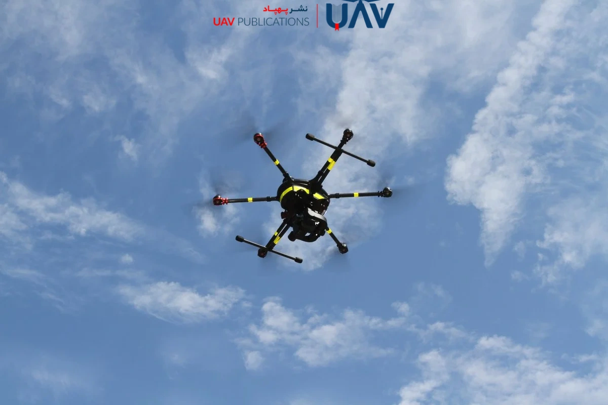
From a cost perspective, GPS systems are more affordable and come pre-installed in most consumer and semi-professional UAVs. RTK systems, however, require additional hardware—such as the RTK receiver, Base Station, and sometimes a correction service subscription—which increases costs and setup complexity. Ultimately, the choice between GPS and RTK depends on the project’s accuracy requirements, the available technical expertise, and the budget. For missions requiring sub-meter accuracy, GPS may suffice. But for high-precision tasks, RTK is essential.
Use Cases for GPS-Equipped UAVs
Drones equipped with GPS are widely used in lightweight and semi-professional applications due to their affordability, simplicity, and accessibility. Their primary use cases include autonomous navigation, real-time location tracking, and safety functions like Return-to-Home (RTH).
GPS is effective for general aerial photography—capturing nature scenes, events, or small-scale construction sites. For basic inspections such as rooftop analysis, building facades, or power lines, the meter-level accuracy of GPS is often sufficient. Other applications include traffic monitoring, cinematic filming, and pilot training. However, GPS lacks the precision required for tasks such as cadastral mapping or high-resolution 3D modeling, where GPS serves more as a navigation aid than a precise measurement tool.
Use Cases for RTK-Equipped UAVs
RTK-equipped UAVs are purpose-built for precision-critical missions. In aerial surveying, RTK enables the creation of accurate, georeferenced images and detailed 3D models, often eliminating the need for ground control points, resulting in significant time and cost savings.
In precision agriculture, RTK enables accurate planting, targeted spraying, and granular terrain analysis. In construction and civil engineering, RTK is used for topographic mapping, progress tracking, and quality assurance. Even in mining, it facilitates volumetric calculations and detailed modeling of excavation sites. RTK drones are indispensable tools for professionals in geomatics, civil engineering, architecture, advanced agriculture, and surveying fields where every square meter of data holds value.
When is RTK Necessary—and When Is It Not?
Choosing between GPS and RTK depends entirely on the project’s requirements. If your mission tolerates positional errors within one meter—such as general imaging, preliminary site assessments, or basic monitoring—GPS is a cost-effective and practical choice. However, if your project demands centimeter-level precision (e.g., in topographic mapping, 3D reconstruction, terrain change detection, or row-crop farming), RTK is non-negotiable.
You should consider RTK if:
- Your project requires centimeter-level accuracy.
- You cannot deploy ground control points (GCPs).
- The data must be georeferenced for use in official maps or for professional purposes.
- You’re operating in large or complex environments where minor errors compound into significant discrepancies.
Conversely, for basic aerial videography or learning autonomous flight, RTK might be unnecessarily complex and costly. In short, if accuracy is critical to your project’s success, RTK is the clear choice.
Choosing the Right Positioning System for Your UAV
Selecting an appropriate positioning system involves balancing several factors. First and foremost is the nature of your project. If you’re working in high-precision fields like mapping, modeling, or advanced agriculture, RTK is essential. For general photography, basic inspection, or training purposes, a standard GPS will suffice.
The second factor is budget. RTK systems, especially with dedicated Base Stations, can cost significantly more than standard GPS-equipped drones. Consider whether the project’s return on investment justifies the added expense. Third, your experience level matters. RTK setup requires knowledge of flight planning software, correction protocols, and sometimes NTRIP network integration. GPS, by contrast, is plug-and-play. In conclusion, strike a balance between the required accuracy, technical capacity, and available resources. Start with GPS if you’re a beginner or your precision needs are minimal, but go for RTK if you’re a professional seeking highly accurate results.
The Future of Drone Positioning Systems
The future of drone geolocation is set for significant advancements. With continued innovation, high accuracy and low latency will extend beyond RTK alone. The integration of technologies like PPK (Post-Processing Kinematic), SLAM (Simultaneous Localization and Mapping), LiDAR, and AI will enable drones to determine their position even in GPS-denied environments.
Emerging satellite constellations such as Galileo, BeiDou, and NavIC will complement GPS, enhancing positioning reliability and precision. The growing adoption of 5G and IoT will further support real-time corrections with minimal delay. In terms of applications, drones will increasingly be utilized in sensitive sectors such as healthcare, disaster response, intelligent inspections, and urban logistics—domains where even a few centimeters of error can be critical. The path forward points to more innovative, more efficient, and highly accurate positioning systems tailored to complex environments.
Final Advice for UAV Users—Beginners and Professionals
This article has explored the core differences between GPS and RTK positioning systems for drones. Both have their place depending on project needs, budget, and technical proficiency. GPS is simple, affordable, and suitable for general and non-professional applications. RTK, by contrast, is a specialized tool for projects requiring centimeter-level precision, such as surveying, advanced agriculture, 3D modeling, and infrastructure development.
If you’re a beginner, starting with GPS allows you to gain experience with UAV operations and flight software. If you’re a professional aiming for highly accurate and defensible outputs, it’s wise to invest in RTK or even hybrid systems (e.g., RTK + PPK) from the outset. Remember, no positioning system is universally ideal. A wise choice aligns technology with your actual needs, not simply the most advanced or expensive option. Ultimately, a clear understanding of your project is the cornerstone of UAV efficiency.

